Currently Empty: $0.00
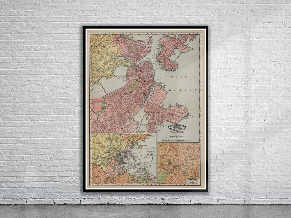
An 1891 Map of the City of Boston by Rand McNally. The map depicts parks, piers, railways and ferry lines as well as many individual streets and buildings. Stunning Full Colour Reproduction using the Most Advanced Technology Available Printed on Museum Matte Archival Paper 310gm Unique Conversation Piece for your Home or Business Frame not included