Currently Empty: $0.00
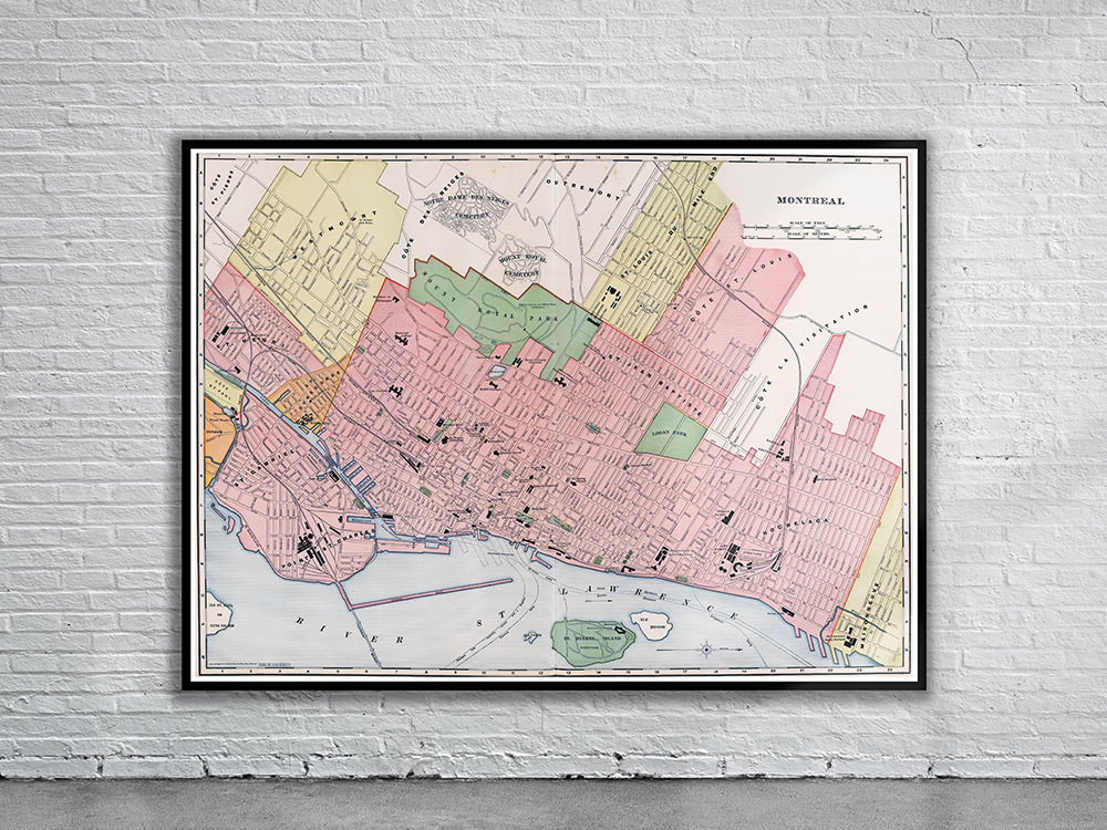
Rand McNally’s Map of Montreal from 1898. The map is oriented with the north to the right with the St. Lawrence River in the foreground. Depicted are the major buildings, parks and cemeteries. Stunning Full Colour Reproduction using the Most Advanced Technology Available Printed on Museum Matte Archival Paper 310gm Unique Conversation Piece for your Home or Business Frame not included